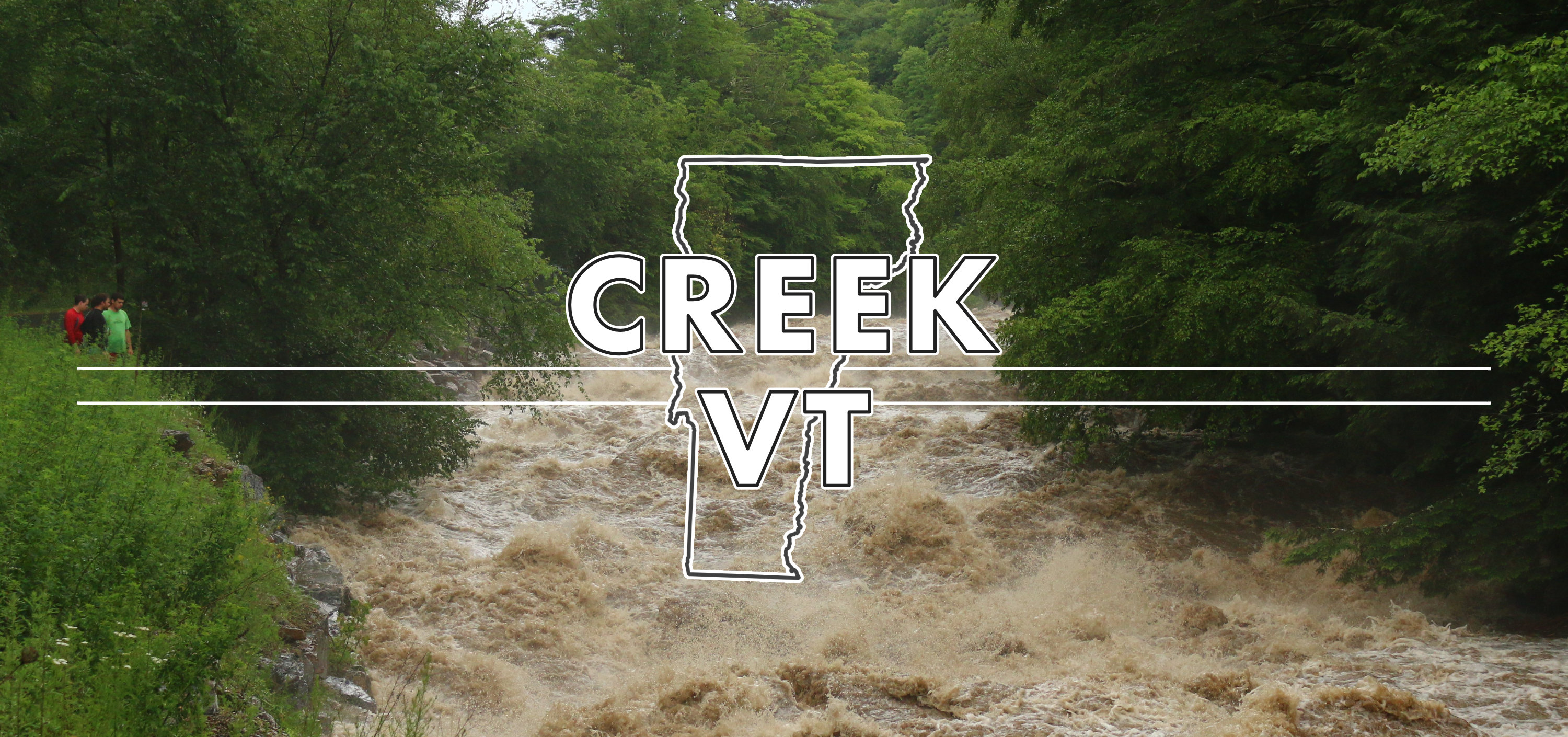
The idea is simple. Gather as many boater-provided reports as possible to generate as much data as possible for the purpose of correlating USGS river gauge readings to optimal levels on our favorite runs.
All we ask of you is the following:
1. Make note of a visual level of your favorite creek noting the date and time.
2. Submit that information via the form provided below.
3. Visit the google sheet to see the raw data.
River Flows Google Sheets
Behind the scenes the spreadsheet grabs the gauge readings from the USGS gauges associated with the creek being reported, using the date and time listed in the report. It then compiles all the reports for each run into their own sheet so that correlations may be made.
Here is an example: